Radar Altimeter and Terrain Scanners
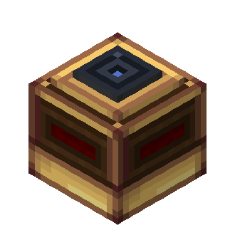
Radar Altimeter
The radar_altimeter casts nine rays downward in a 20° half-angle cone. At least three must hit for a valid sample; the reported value is the median hit distance in decimal blocks. It ignores entities and its host sublevel, but can hit collision shapes in the world or other sublevels. The default maximum range is 128 blocks (radarAltimeterMaxRange); the shared scan interval defaults to 5 ticks (sensorScanIntervalTicks). Raycasts never load chunks. Fewer than three returns produces unavailable; an internal scan error produces failed.
Its CC:Tweaked API is getReading(), returning {status, value?, unit, gameTime}. value exists only for valid status and unit is blocks. radar_altimeter_reading_changed fires when status or value changes, not merely because a new sample timestamp was recorded.
Terrain Scanners
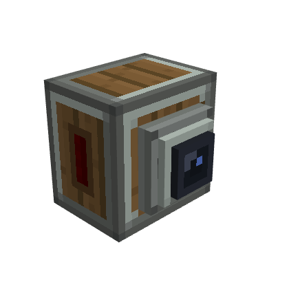
Both scanners point horizontally along the block facing, including when mounted upside down. They follow Aeronautics sublevel movement and test block collision shapes; entities and the host sublevel are ignored. Unloaded chunks reduce coverage.
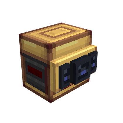
The basic terrain_scanner uses nine rays with a fixed 90° total aperture. The terrain_scanner_advanced distributes approximately 9–81 rays over an adjustable 30°–180° aperture (90° by default). Ray count follows the covered angular area and cannot be set directly. terrainScannerMaxRange defaults to 128 blocks.
getScan() returns a snapshot containing status, contacts, sampledRays, totalRays, coverage, unit (blocks), and gameTime. Each contact contains a 1-based rayIndex, distance, and relative directionX, directionY, and directionZ (right, up, forward). Any completed ray makes the sample valid, even if coverage is partial. If no ray completes, status is unavailable; unexpected failures are failed. An empty contact list is safe to interpret as clear only when coverage is complete.
The advanced peripheral also offers getConfiguration() and setOpeningAngle(degrees), and emits terrain_scanner_configuration_changed. The setter accepts 30–180 degrees and returns false for the current or invalid value. Both variants emit terrain_scanner_scan_changed when the scan changes.
Redstone outputs
Sensors expose getOutputs(), getOutputConfiguration(), setOutputRange(channel, min, max), and setLinkFrequencies(channel, first, second). Output range is transformed into a 0–15 signal. Output mode is automatic: without a complete frequency pair the signal uses block faces; any complete pair selects Redstone Link. On the Advanced Scanner the mode applies to the whole block, so channels without pairs do not fall back to face output.